Sources and credits
Where it all comes from.
Every fact on the site carries a source number. Here are the sources, then every image with its licence. The 1913 town plan, the 1938 city plan and the 1913 address book are used for research only. Nothing from them is reproduced on this site.
Sources for this page
- S01Lageplan mit Darstellung der Straßen und Hausnummern, Cüstrin Altstadt, Aug. 1913. cuestrin.de, © Andy Steinhauf. Used for research; not reproduced here.
- S07Plan der Festung Cüstrin, c. 1860. Staatsbibliothek zu Berlin, Kart. X 22194.
- S13Polish national terrain model (NMT, airborne LiDAR, 1 m). GUGiK.
- S19C. E. Zschille, Ansichten von Küstrin, collotype, 1893. SLUB / Deutsche Fotothek.
- S20Otto Stiehl, Zeughaus, Küstrin, 1897–98. Architekturmuseum TU Berlin, 57197,073.
- S21K. F. Pruss von Zglinicki, Zeughaus: Hauptportal, 1853. Landesgeschichtliche Vereinigung für die Mark Brandenburg, via museum-digital.
- S23Adressbuch Cüstrin 1913, transcribed at cuestrin.de, © cuestrin.de / Andy Steinhauf. Used for non-commercial research; not reproduced here.
- S25Städtebuch Historisches Ostbrandenburg, "Küstrin", pp. 221–242. Institut für vergleichende Städtegeschichte, Münster.
- S35de.wikipedia, Festung Küstrin.
- S37en.wikipedia, Kostrzyn nad Odrą.
- S38pl.wikipedia, Stary Kostrzyn.
- S42cuestrin.de, Schleifung der Festung, © cuestrin.de / Andy Steinhauf.
Image sources
- S51Otto Stiehl, Skizzen- und Fotoalbum 12, 1897–98. Schlosshof 57197,070, portal 57197,075. Architekturmuseum TU Berlin, CC0.
- S52Otto Stiehl, Skizzen- und Fotoalbum 29, 1908–12. Market square 57214,047, street and bakery 57214,045. Architekturmuseum TU Berlin, CC0.
- S20Zeughaus photograph, cropped from the album leaf. Architekturmuseum TU Berlin, CC0.
- S071860 plan, cropped. Staatsbibliothek zu Berlin, Public Domain Mark 1.0.
- S191893 sheet, trimmed. SLUB Dresden / Deutsche Fotothek, Public Domain Mark per DDB; Europeana lists the scan as CC BY-SA 4.0, so credit is kept.
- S211853 drawing. Landesgeschichtliche Vereinigung für die Mark Brandenburg e.V., Archiv / Thomas Voßbeck, 2020, CC BY 4.0.
- S53Matthäus Merian, Topographia Electorat. Brandenburgici, 1652. Wikimedia Commons, public domain.
- S54Plan of the siege of Küstrin, 1758, author unknown. Wikimedia Commons, public domain.
- S55Gerd Danigel (ddr-fotogaf.de), Altstadt am 20.9.2017. Wikimedia Commons, CC BY-SA 4.0. Resized.
- S56Kostrzyn, 18 March 1945. US aerial reconnaissance, National Archives RG 373, via Wikimedia Commons, public domain. Cropped.
- S57MOs810, Nadodrzańskie Pompeje (3), 13 April 2015. Wikimedia Commons, CC BY-SA 4.0. Resized.
- S58Fry72, Brama Berlińska 02, 6 January 2025. Wikimedia Commons, CC BY-SA 4.0. Resized.
- —3D renders: this project, from S13 and S07. Fonts: Geist, Geist Mono, Newsreader (SIL Open Font License).


Every image on the site
Files are at most 1600 px wide. “Cropped” and “resized” are the changes the licences ask us to state. The CC BY-SA photographs, resized, stay under CC BY-SA 4.0.
| Image | Title, date, source | Licence | Credit |
|---|---|---|---|
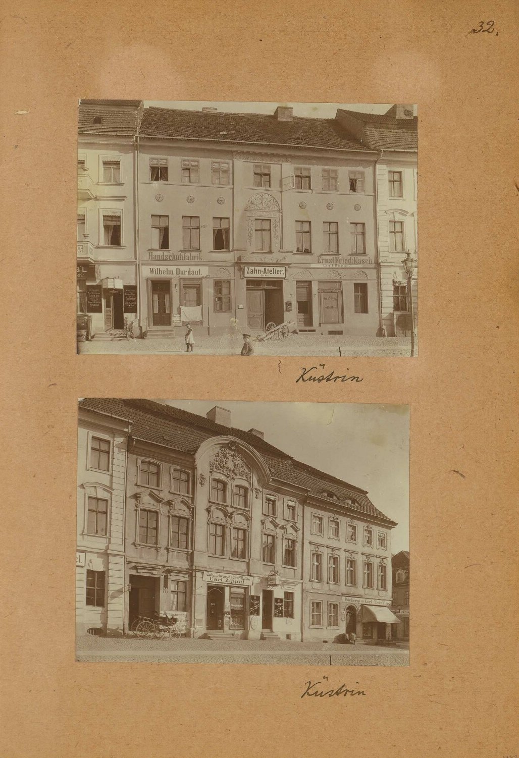 |
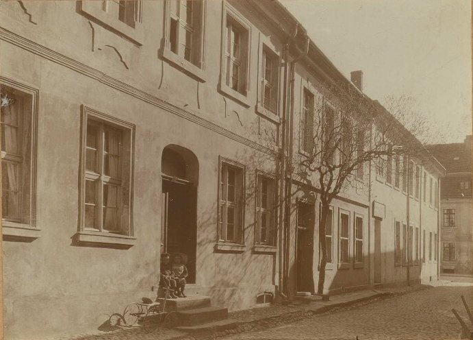
Wohn- und Geschäftshaus, Küstrin: Ansichten (Skizzen- und Fotoalbum 29), 1908–12. Page, trimmed. DOI 10.25645/kz09-tc2e, Inv. 57214,047 |
CC0 1.0 | Otto Stiehl, Architekturmuseum TU Berlin, Inv. 57214,047 (not required, requested by the museum) |
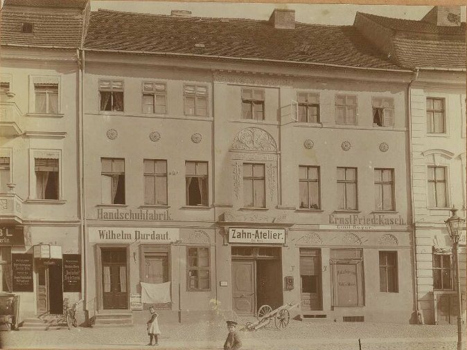 |
Same page, upper photo. Am Markt 115 and neighbours. as above |
CC0 1.0 | as above |
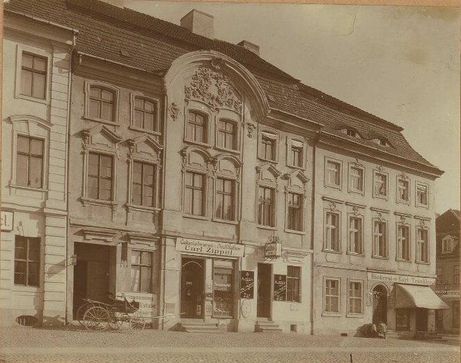 |
Same page, lower photo. Am Markt 117/118 and 119. as above |
CC0 1.0 | as above |
 |
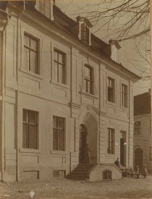
Bäckerei, Küstrin. Wohnhaus, Küstrin: Ansichten (Album 29), 1908–12. Lower photo. DOI 10.25645/h1h5-2sq7, Inv. 57214,045 |
CC0 1.0 | Otto Stiehl, Architekturmuseum TU Berlin, Inv. 57214,045 |
 |
Same page, upper photo. as above |
CC0 1.0 | as above |
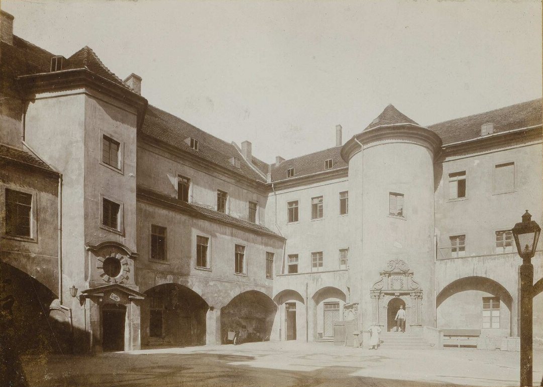 |
Schloss Küstrin: Ansicht von der Hofseite (Album 12), 1897–98. DOI 10.25645/dgmm-taef, Inv. 57197,070 |
CC0 1.0 | Otto Stiehl, Architekturmuseum TU Berlin, Inv. 57197,070 |
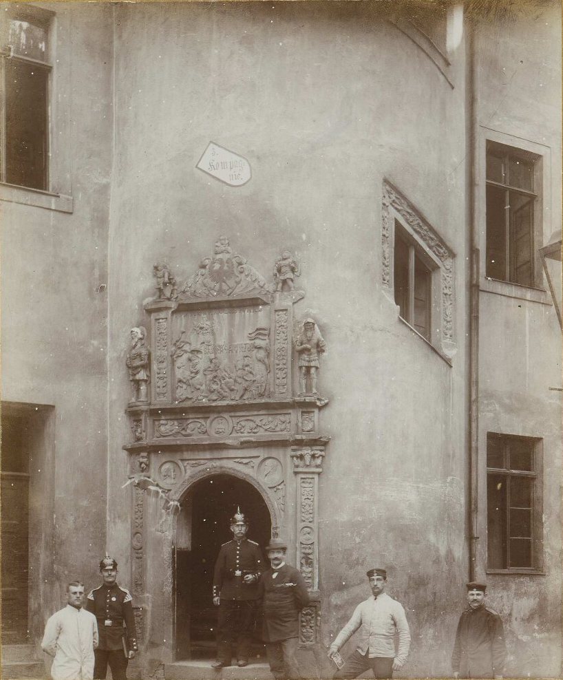 |
Schloss Küstrin: Ansicht von der Hofseite (Album 12), 1897–98. DOI 10.25645/kdhb-y9rk, Inv. 57197,075 |
CC0 1.0 | Otto Stiehl, Architekturmuseum TU Berlin, Inv. 57197,075 |
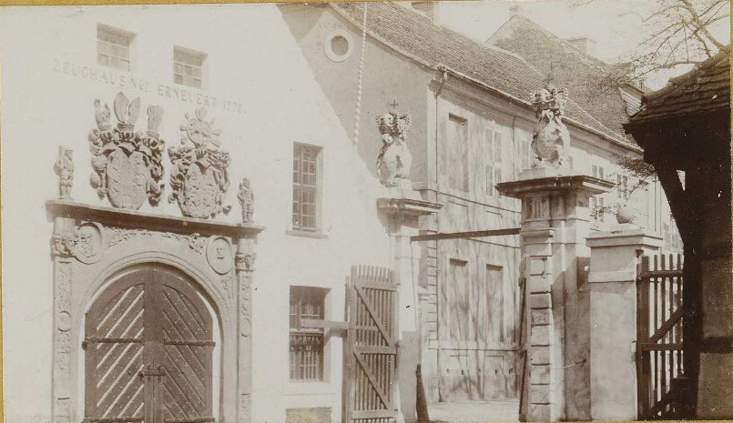 |
Zeughaus, Küstrin (Album 12), 1897–98. Upper photo only; the lower one on that leaf is Stendal. DOI 10.25645/6eaa-z02y, Inv. 57197,073 (S20) |
CC0 1.0 | Otto Stiehl, Architekturmuseum TU Berlin, Inv. 57197,073 |
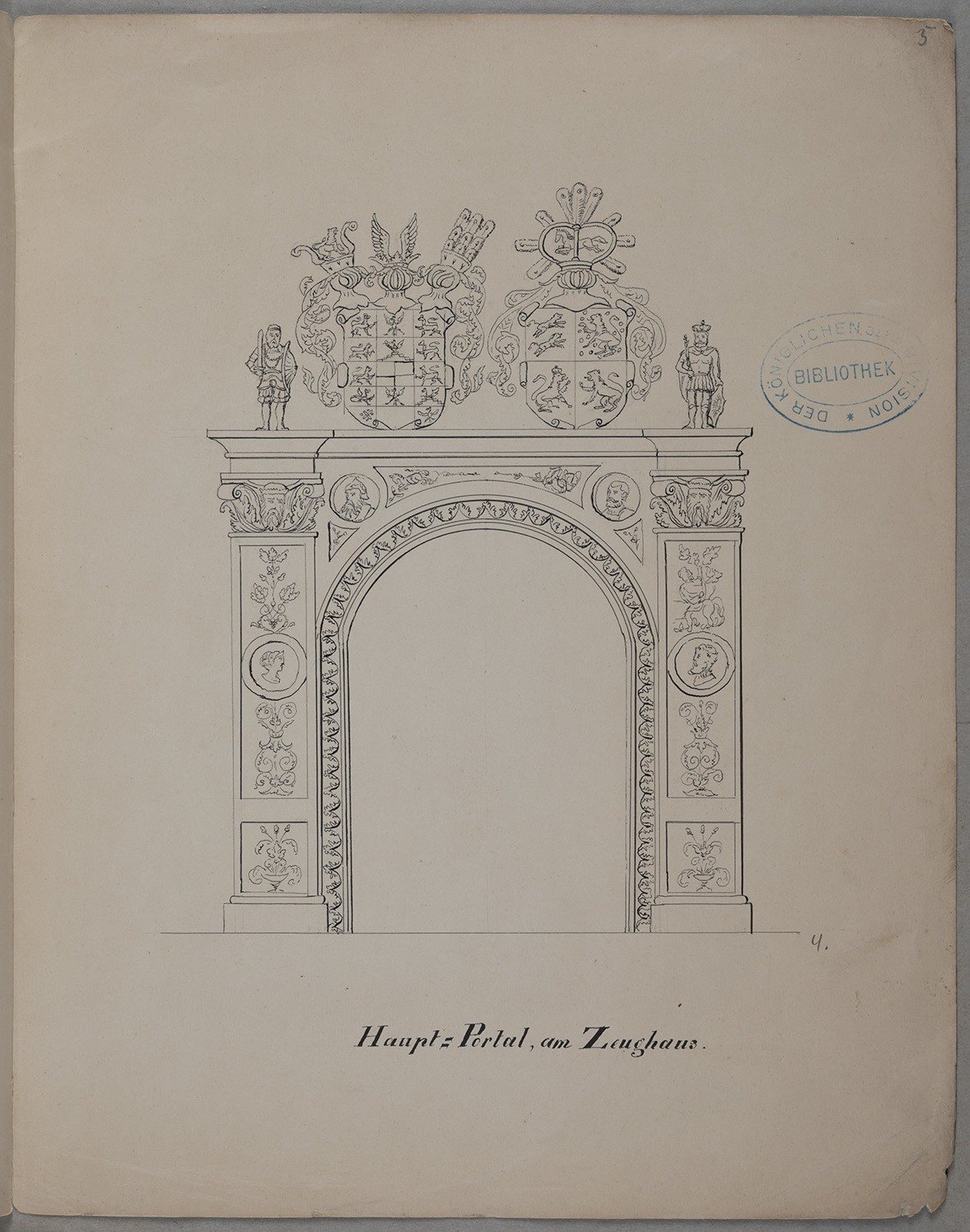 |
Küstrin: Zeughaus: Hauptportal, pen over pencil, 1853. Karl Friedrich Pruss von Zglinicki. museum-digital 67288 (S21) |
CC BY 4.0 | Landesgeschichtliche Vereinigung für die Mark Brandenburg e.V., Archiv / Thomas Voßbeck, 2020, CC BY 4.0. Resized. |
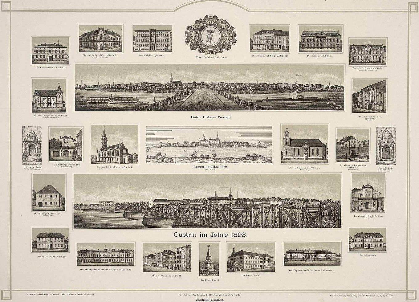 |
Ansichten von Küstrin, collotype, 1893. Camillo Ehregott Zschille. Trimmed. DDB item, Deutsche Fotothek obj. 90005203 (S19) |
Public Domain Mark 1.0 (DDB); see note 1 | SLUB Dresden / Deutsche Fotothek, C. E. Zschille, 1893 |
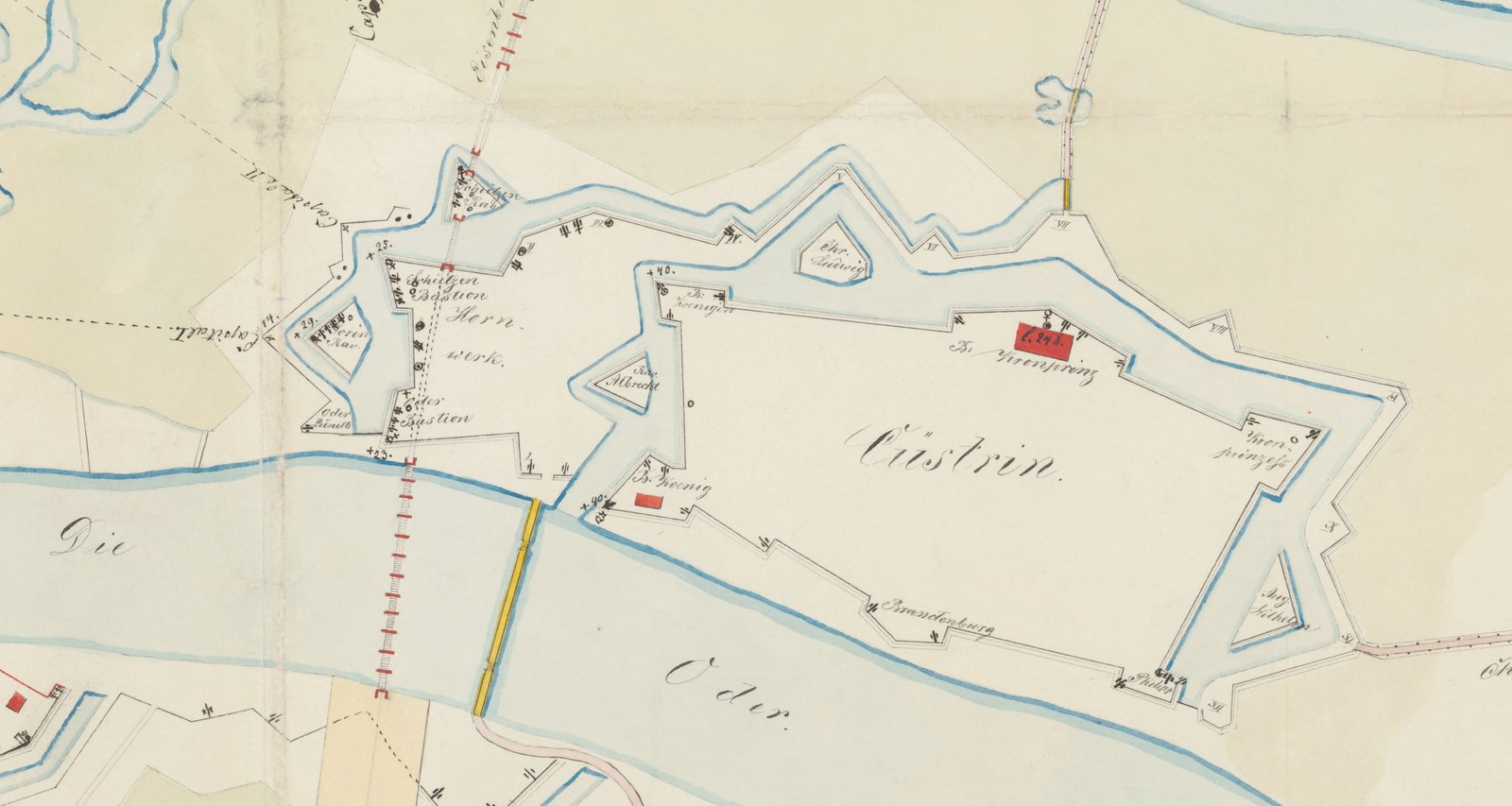 |
Plan der Festung Cüstrin, hand-drawn, c. 1860. Cropped to the fortress. Staatsbibliothek zu Berlin, Kart. X 22194 (S07) |
Public Domain Mark 1.0 (IIIF manifest) | Staatsbibliothek zu Berlin, Kart. X 22194 |
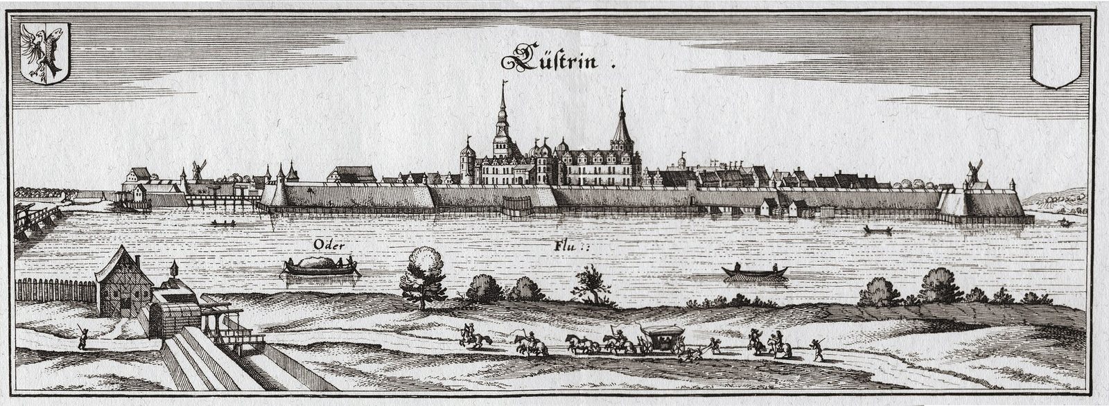 |
Küstrin, copperplate, from Topographia Electorat. Brandenburgici, 1652. Matthäus Merian. Commons |
Public domain | Matthäus Merian, 1652 |
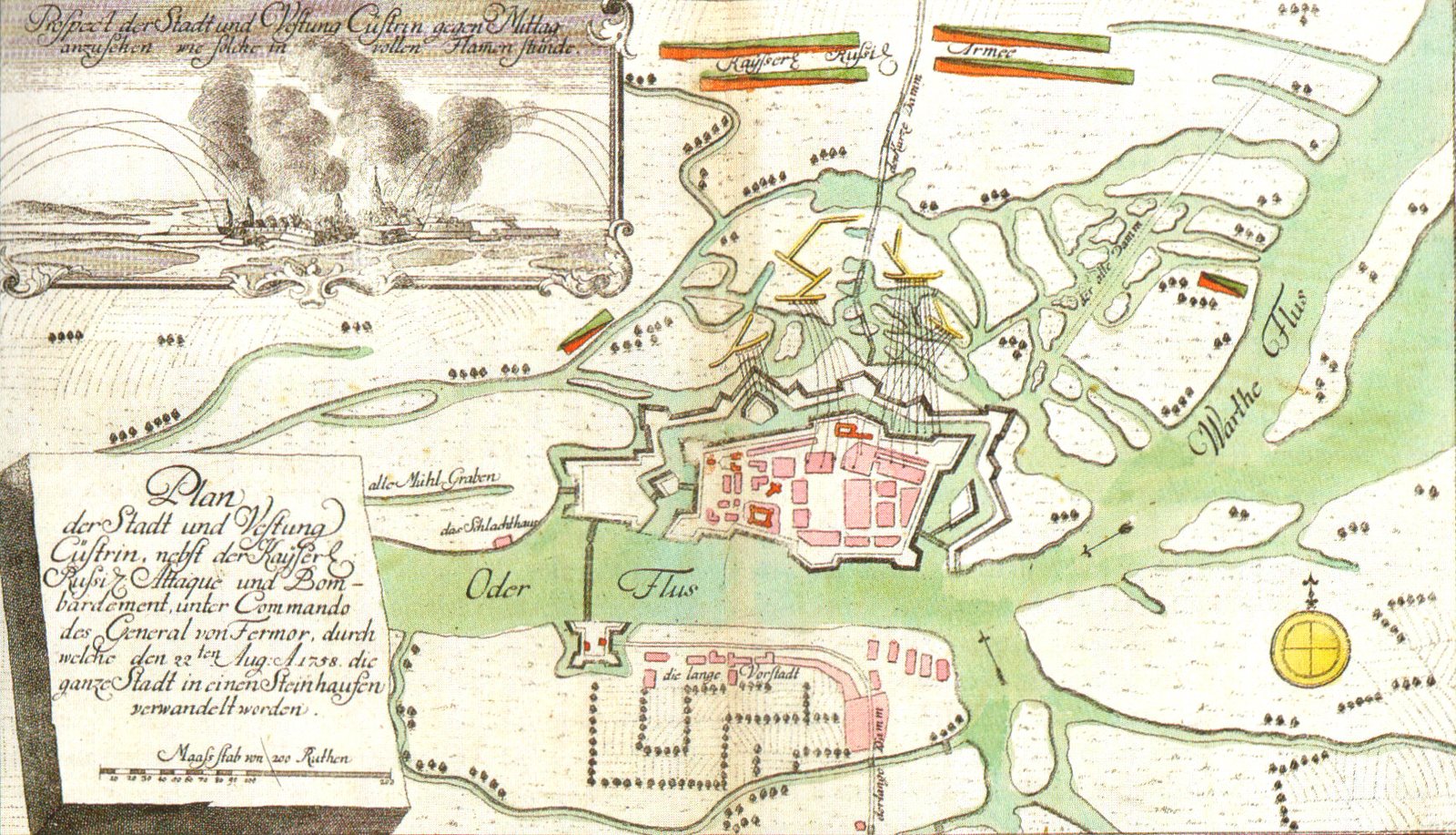 |
Plan of the siege of Küstrin, 1758, author unknown. Commons |
Public domain | Author unknown, 1758 |
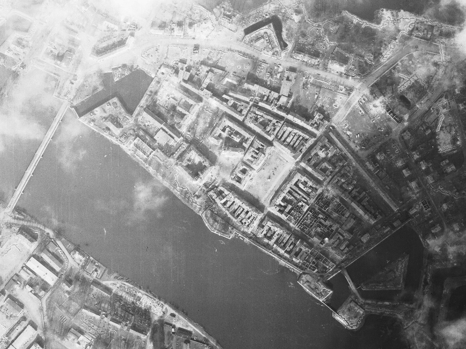 |
Kostrzyn, US aerial reconnaissance, 18 March 1945. Cropped to the Altstadt. Commons, NARA RG 373, ID 221963703 |
Public domain (US government work) | U.S. National Archives and Records Administration, RG 373 |
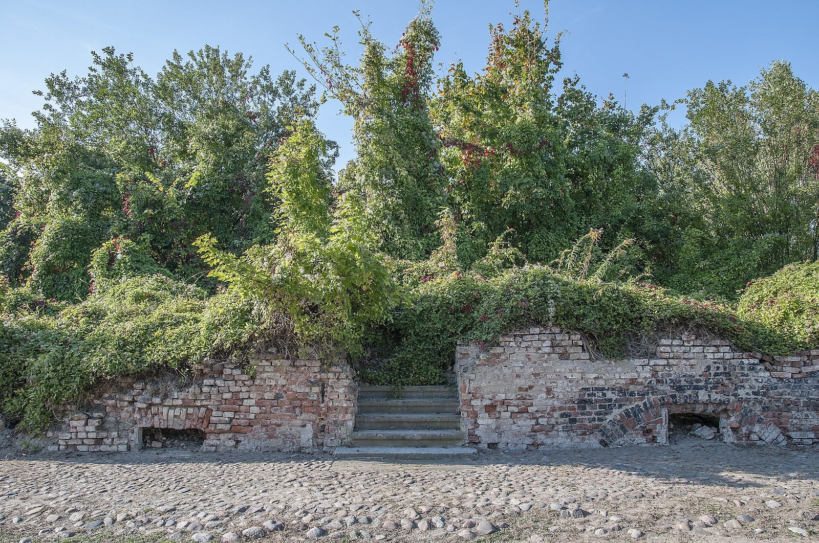 |
Altstadt am 20.9.2017. Commons |
CC BY-SA 4.0 | Gerd Danigel (Gerddanigel, ddr-fotogaf.de, as given on Commons), CC BY-SA 4.0. Resized. |
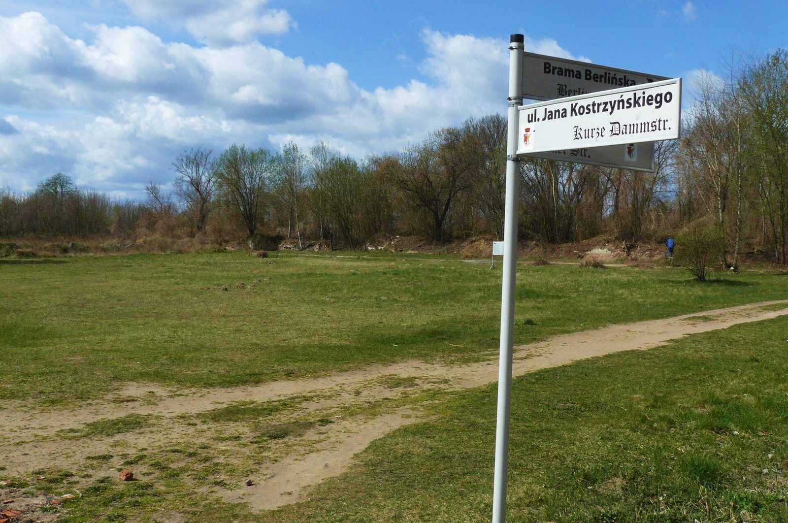 |
Nadodrzańskie Pompeje, Kostrzyn nad Odrą, Stare Miasto (3), 13 April 2015. Commons.JPG) |
CC BY-SA 4.0 | MOs810, CC BY-SA 4.0. Resized. |
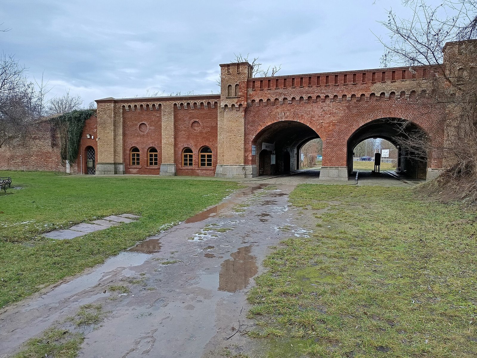 |
Brama Berlińska, Stary Kostrzyn 02, 6 January 2025. Commons,_Stary_Kostrzyn,_Kostrzyn_nad_Odr%C4%85_02.jpg) |
CC BY-SA 4.0 | Fry72, CC BY-SA 4.0. Resized. |
Made by this project
- Renders of today’s terrain, the walls of 1913 and the town seen from the east: terrain and walls only, from the GUGiK terrain model (S13) and the 1860 plan (S07).
- Fortress outline: this project’s walls on © OpenStreetMap contributors (ODbL).
- The 2D map uses OpenStreetMap tiles and data, © OpenStreetMap contributors, and Leaflet (BSD 2-clause). The 3D view uses three.js (MIT).
- Fonts: Geist, Geist Mono and Newsreader, SIL Open Font License, served from this site.
- Address book of 1913 (S23): © cuestrin.de / Andy Steinhauf, used for non-commercial research. The residents’ names are not shown on this site.